
A new AI-powered satellite survey suggests that the widely accepted number of wildebeests participating in the annual migration across Kenya and Tanzania may be significantly lower than previously thought. This finding challenges estimates that have remained largely unchanged for decades, highlighting the need for updated counting methods.
Key Takeaways
- An AI-powered satellite survey counted fewer than 600,000 wildebeests, about half the traditional estimate.
- Previous estimates of 1.3 million wildebeests have been stable since the 1970s.
- The study emphasizes the importance of comparing different survey techniques for accuracy.
- Wildebeest migration is vital for the Serengeti-Mara ecosystem and faces threats from human activity.
New Technology Reveals Discrepancy in Wildebeest Counts
For over 50 years, the iconic wildebeest migration across the Serengeti-Mara ecosystem has been estimated at more than 1 million animals. Recent research using advanced artificial intelligence and satellite imagery now indicates this figure might be substantially lower. The study, published in the journal PNAS Nexus, used deep-learning models to analyze satellite images.
Scientists found a count of fewer than 600,000 individuals. This number is approximately half of the 1.3 million wildebeest estimate often cited since the 1970s. The discrepancy raises important questions about population tracking methods.
"We were surprised to find so many fewer compared to findings from aerial surveys. We're just opening up the question as to why different methods are producing rather different results," stated Isla Duporge, a lead author of the study and a postdoctoral fellow at Princeton University, in an interview with Mongabay.
Migration Facts
- The wildebeest migration covers 800 kilometers (500 miles) annually.
- Animals follow rainfall patterns in search of fresh grass.
- This migration is one of the largest mammal movements globally.
Why Accurate Counts Matter for Conservation
The wildebeest migration is not just a spectacle; it is a critical ecological process. The animals fertilize the soil as they move, supporting plant growth. They also serve as a key food source for predators such as lions, crocodiles, and hyenas. This makes accurate population monitoring essential for the health of the entire ecosystem.
Tracking wildebeest numbers helps conservationists understand population trends. It allows them to respond to threats like habitat loss and increased human presence. Without reliable data, efforts to protect these animals and their habitat could be less effective.
Ecosystem Role
Wildebeests, along with zebras and other herbivores, play a fundamental role in maintaining the balance of the Serengeti-Mara ecosystem. Their grazing patterns influence vegetation, and their movements create pathways and spread nutrients, impacting biodiversity across the vast landscape.
Comparing Old and New Survey Methods
Historically, aerial surveys were the primary method for counting wildebeests. These surveys involve aircraft flying in straight lines, much like a lawnmower, to count animals within a limited field of view. The counts are then extrapolated to estimate the total population over a larger area.
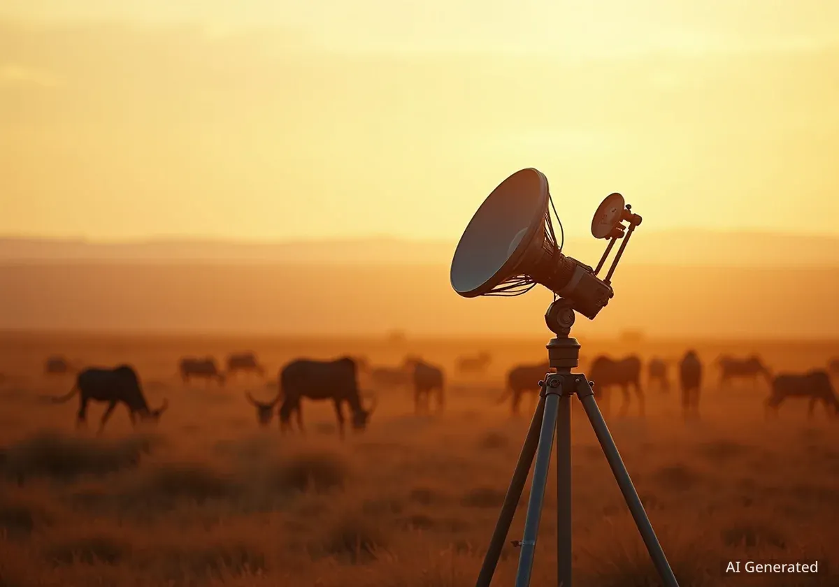
The new study used a different approach. It combined satellite data with sophisticated AI models. This method allows for a very large snapshot of the Earth's surface, capturing vast areas simultaneously. The research team requested satellite images of a 4,000 square kilometer (1,540 square miles) area in August 2022 and 2023.
How AI Models Were Trained
To ensure accuracy, Duporge and her team trained two distinct AI models. They used 70,000 manually annotated images of wildebeests from a previous study. One model learned to identify the entire animal as a single object. The second model focused on identifying the vertical stripes on wildebeests, which appear as dark dots in satellite images.
The results from both models were quite similar, providing confidence in the new estimates. This consistency suggests the AI-powered satellite method offers a reliable way to count large animal populations over wide areas.
The Path Forward: Calibrating Survey Techniques
Given the significant difference between the AI satellite survey and traditional aerial counts, the next critical step is to calibrate these various techniques. This means comparing them directly to understand any biases or errors inherent in each method. "We are going to calibrate an aerial survey against a satellite survey to work out the relative error biases in both approaches," Duporge explained.
While the ideal scenario would be to focus on wildebeests for this calibration, practical challenges such as permit acquisition might lead researchers to use another species, possibly rhinos, for the comparative study. The goal is to establish a more accurate and consistent counting methodology for wildlife populations.
Benefits of AI and Satellite Data
- Provides large-scale snapshots of Earth's surface.
- Can identify collective behavior patterns and herd alignment.
- Offers consistent data over time and across vast regions.
Future Applications of AI in Wildlife Conservation
The combination of satellite data and AI technology offers more than just population counts. It can also provide nuanced data, such as collective behavior patterns, herd alignment, and aggregation dynamics. This deeper insight can help conservationists understand how animals interact with their environment and each other.
Duporge emphasized the importance of training more people in government agencies and wildlife conservation organizations. Scaling up this expertise would accelerate the adoption and benefits of these advanced techniques. The temporal and spatial resolutions of satellites are constantly improving, making this approach increasingly viable and valuable for global wildlife monitoring.
"I believe it's the logical thing to be happening now because the temporal and spatial resolutions of satellites are getting so good," Duporge concluded, highlighting the transformative potential of these technologies for wildlife conservation.